Niuatoputapu
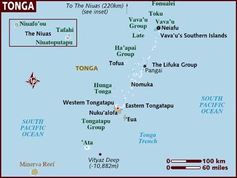
Map of the Kingdom of Tonga
There are four island groups in Tonga, and last time we had made it to three of the four: Vava’u, Ha’apai, and Tongatapu. This time we checked off the fourth island group: The Niuas. Niuatoputapu is one of three islands in The Niuas, and it’s about 170 nmi north of the more well known Vava’u group. Fortunately, it’s a formal port of entry, so cruising yachts often make the stop here in between Samoa and the rest of Tonga.
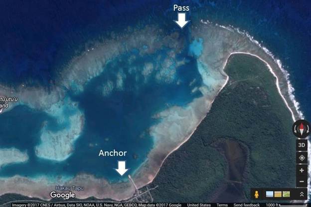
The lagoon at Niuatoputapu
Niuatoputapu is a relatively low coral island with only a small lagoon on the northern side. The pass is navigable, but not entirely straightforward, so we were glad to have waypoints from cruisers who came before us and also satellite imagery for truth data against our chart plotter. We made it in no problem with good visibility from the mid-day sus. The shallowest depth measurement we took in the pass was 17 ft and we clocked a current of about 1 kt (although I didn’t write down if it was incoming or outgoing). The SE trades were blowing pretty steady the whole time we were there, so we had good protection and a nice flat lagoon to enjoy.
Anchor location 15 56.511 S, 173 46.096 W, 24 ft
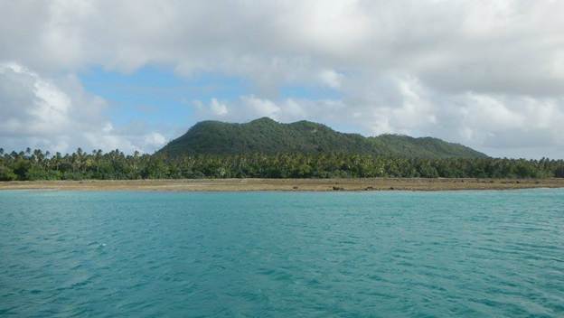
The view of the island from our anchorage
This beautiful island has some tragedy in its recent history. On 29 Sept 2009 there was an 8.1 magnitude earthquake that caused a devastating tsunami. Nine people on the island died as a result of the tsunami and 60% of the buildings were destroyed. There are three villages on the island, and needless to say the one that is at a higher elevation suffered the least amount of damage. They have rebuilt nicely, and you’d hardly know of the destruction now except for the small memorial and that they now have all these tsunami safety signs and clearly marked evacuation routes to higher ground.
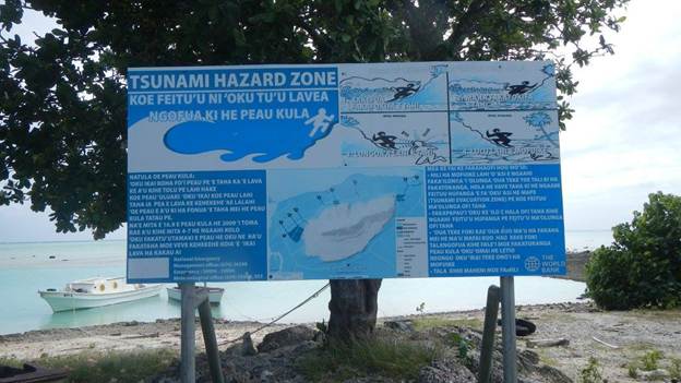
Tsunami warning signs are posted at several locations on the island
